BOONE (IOWA)
Battle of the Bulge Memorial
Mémorial de la Bataille des Ardennes
Memoriaal van de Slag om de Ardennen
|
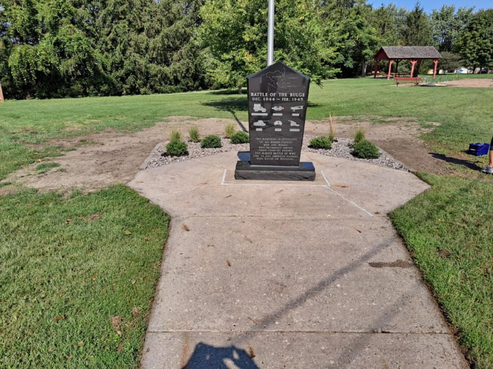
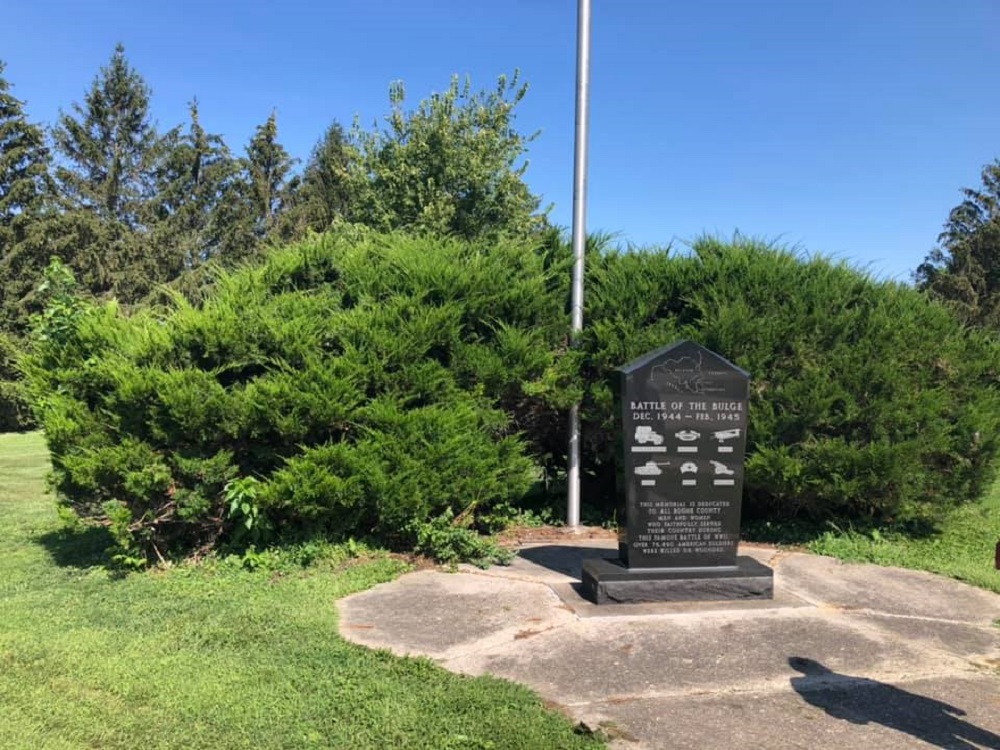
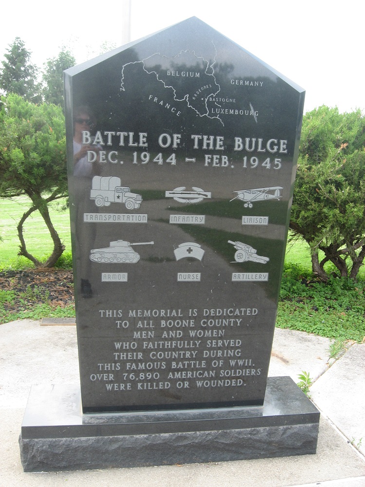
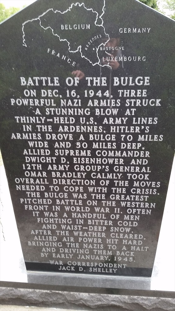
Location - Localisation - Ligging : Miles-Lee Park, corner of W 5th and Franklin Streets. GPS coordinates - Coordonnées GPS - GPS-coördinaten: +42°03'40.7", -93°54'29.5" Inscription - Inscriptions - Opschriften Front face - Face avant - Voorkant "[Map of the area where the battle took place] BATTLE OF THE BULGE DEC. 1944 - FEB. 1945 TRANSPORTATION - INFANTRY - LIAISON ARMOR - NURSE - ARTILLERY [with images representing these army corps] THIS MEMORIAL IS DEDICATED TO ALL BOONE COUNTY MEN AND WOMEN WHO FAITHFULLY SERVED THEIR COUNTRY DURING THIS FAMOUS BATTLE OF WW II. OVER 76,890 AMERICAN SOLDIERS WERE KILLED OR WOUNDED. Rear face - Face arrière - Achterkant "[Map of the area where the battle took place] BATTLE OF THE BULGE ON DEC. 16, 1944, THREE POWERFUL NAZI ARMIES STRUCK A STUNNING BLOW AT THINLY-HELD U.S. ARMY LINES IN THE ARDENNES. HITLER'S ARMIES DROVE A BULGE 70 MILES WIDE AND 50 MILES DEEP. ALLIED SUPREME COMMANDER DWIGHT D. EISENHOWER AND 12TH ARMY GROUP'S GENERAL OMAR BRADLEY CALMLY TOOK OVERALL DIRECTION OF THE MOVES NEEDED TO COPE WITH THE CRISIS. THE BULGE WAS THE GREATEST PITCHED BATTLE ON THE WESTERN FRONT IN WORLD WAR II. OFTEN IT WAS A HANDFUL OF MEN FIGHTING IN BITTER COLD AND WAIST-DEEP SNOW. AFTER THE WEATHER CLEARED, ALLIED AIR POWER HIT HARD BRINGING THE NAZIS TO A HALT AND DRIVING THEM BACK BY EARLY JANUARY, 1945. WAR CORRESPONDENT JACK D. SHELLEY" Ce monument ne comporte pas de noms de victimes de guerre - Er staan geen namen van oorlogsslachtoffers op dit monument |


Photos - Foto's :
Erik MILES